Lares Trek Altitude — Where the Elevation Becomes the Real Challenge
Ultima actualización en 29 October, 2026 por Jhon Quispe
Last Updated on 29 October, 2026 by Jhon Quispe
How high is the Lares Trek?
Waman’s current 4-day Lares Trek reaches approximately 15,846 ft (4,830 m) at Sicllakasa Pass on Day 2. The trek spends much of its first three days at high elevation before descending toward Cuncani and Lares, then continuing by road and train to Machu Picchu.
- Lares Trek Elevation at a glance
- What is the highest point on the Lares Trek?
- Lares Trek elevation by day
- Why Lares Trek elevation figures vary online
- How altitude affects Lares Trek difficulty
- How weather changes with elevation
- Acclimatization for the Lares Trek
- Plan the Lares Trek around its altitude profile
-
Frequently asked questions about Lares Trek Elevation
- What elevation do you sleep at before Sicllakasa Pass?
- How high is Cuncani after crossing Sicllakasa Pass?
- What is the altitude of the Lares area?
- Does every Lares Trek route reach 15,846 feet?
- Is Machu Picchu lower than the Lares Trek?
- Does the Lares Trek walk directly to Machu Picchu?
- Do 3-day and 5-day Lares routes have the same altitude?
- Should I acclimatize before the Lares Trek?
Lares Trek elevation changes quickly enough that the highest point alone does not explain the experience. The route gains several thousand feet between the trailhead and the upper terrain, keeps travelers high overnight, reaches Sicllakasa Pass on Day 2 and only then begins the longer descent toward Cuncani and Lares.
That elevation profile affects pace, cold exposure and acclimatization, which is why travelers should compare the exact route rather than assume every Lares Trek reaches the same altitude.
Lares Trek Elevation at a glance
| Elevation point | Planning reference | Why it matters |
| Trailhead area near Pumahuanca | About 10,335 ft (3,150 m) | Start of the main hiking section |
| High terrain on Day 1 | Around 14,100 ft (4,300 m) | First major exposure to high-Andean elevation |
| Sicllakasa Pass | About 15,846 ft (4,830 m) | Highest point of Waman’s current 4-day route |
| Cuncani area | Around 12,470 ft (3,800 m) | Descent after the highest pass |
| Lares area | About 10,498 ft (3,200 m) | End of the main hiking section on the current route |
| Machu Picchu | About 7,970 ft (2,430 m) | Visited after the Lares hiking section and train connection |

The Lares hot springs mark the transition from the trekking section toward Ollantaytambo and Machu Picchu Pueblo.
What is the highest point on the Lares Trek?
On Waman Adventures’ current 4-day itinerary, the highest point is Sicllakasa Pass at approximately 15,846 ft (4,830 m). This pass is normally reached on Day 2 and represents the key elevation milestone of the route.
Sicllakasa is substantially higher than both Cusco and Machu Picchu. That difference matters because travelers may feel the effects of thinner air more strongly near the pass even when the hiking distance itself does not seem extreme.

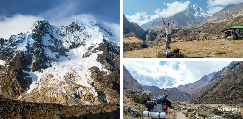
High terrain defines the route near Sicllakasa Pass.
Lares Trek elevation by day
The elevation changes substantially across the main hiking section. The route climbs through the upper valleys during the first two days, reaches its maximum altitude at Sicllakasa and then descends toward Cuncani and Lares.
Day 1 from Pumahuanca to Puyoc
The trek begins in the Pumahuanca area at roughly 10,335 ft (3,150 m) and climbs steadily into higher Andean terrain. By the end of the day, travelers are already sleeping at elevations much higher than Cusco’s Historic Center, with the upper Day 1 terrain around 14,100 ft (4,300 m) in this planning profile.
The first day therefore matters for more than distance. It is the beginning of the route’s major altitude gain, and the body is already adjusting before the highest pass is reached.
Day 2 from Puyoc through Sicllakasa to Cuncani
Day 2 contains the highest point of the trek. The route continues upward toward Sicllakasa Pass at about 15,846 ft (4,830 m) before beginning the descent toward Cuncani.
This is the most important day for understanding the Lares Trek elevation profile because it combines sustained high altitude with the maximum height of the route.
Day 3 from Cuncani to Lares
After the high pass, the route continues at lower elevations as it descends through Andean communities toward Lares. Cuncani sits around 12,470 ft (3,800 m), so travelers are still at significant altitude even after leaving the highest section behind.
The main hiking section then continues toward the Lares area, around 10,498 ft (3,200 m) in the current planning reference, before the itinerary transitions toward the road connection to the Sacred Valley.
Day 4 and Machu Picchu
Machu Picchu is not part of the continuous Lares walking elevation profile. On Waman’s current 4-day itinerary, the hiking section finishes before travelers continue by road to Ollantaytambo and then by train to Machu Picchu Pueblo.
Machu Picchu sits at about 7,970 ft (2,430 m), far below Sicllakasa Pass at 15,846 ft (4,830 m). The archaeological visit therefore happens at a substantially lower elevation than the hardest high-Andean section of the trek.

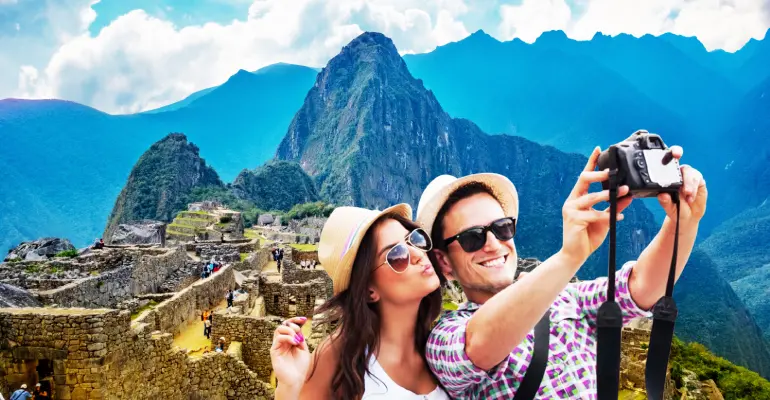
Machu Picchu sits far below the trek’s highest pass.
For the complete route, hiking distances and day-by-day logistics, use the Lares Trek 4 Days itinerary guide.
Why Lares Trek elevation figures vary online
Lares is a trekking region rather than one single fixed trail. Different itineraries can begin in different valleys, cross different communities and use slightly different passes or measurement references. That is why travelers may find maximum-altitude figures such as 4,800 m, 4,813 m, 4,820 m or 4,830 m on different websites.
For consistency, this article uses approximately 15,846 ft (4,830 m) as the planning reference because that is the value used for Sicllakasa Pass on Waman Adventures’ current 4-day itinerary.
If you are comparing a 3-day, 4-day or 5-day Lares itinerary, check the elevation profile of the exact route you are considering rather than assuming every version reaches the same altitude.
How altitude affects Lares Trek difficulty
Altitude is one of the main reasons the Lares Trek can feel more demanding than its total distance suggests. Waman’s current 4-day route includes about 19.3 mi (31 km) of hiking, but much of that walking takes place at elevations where the body has less oxygen available than at sea level.
For many travelers, that means a slower pace, heavier breathing on climbs and greater fatigue near the highest parts of the route. Fitness helps with the physical work of hiking, but it does not remove the effects of altitude. For terrain, training, fitness and the hardest day, use the Lares Trek difficulty guide.

Prioritize warm layers, rain protection, reliable footwear and a light daypack for the high-altitude Lares route.
How weather changes with elevation
Temperature and weather can change noticeably as the trail climbs. The upper sections are more exposed to cold, wind and sudden shifts in cloud cover, while lower valleys and the Machu Picchu region are generally milder.
| Elevation zone | Typical planning concern |
| Lower valleys | Milder conditions during the day, although mornings can still be cool |
| High camps and pass areas | Colder nights, stronger wind and greater exposure |
| Rainier periods | Wet ground, reduced visibility and more slippery trail sections |
| Drier periods | Firmer trail conditions but colder nights and strong high-altitude sun |
Waman’s current 4-day guide identifies May through September as generally drier months. Weather should still be treated as variable at high elevation, especially near the pass.

Higher terrain brings greater exposure to wind, cold and changing weather.
Acclimatization for the Lares Trek
Acclimatization matters because the route climbs well above Cusco. Travelers who arrive immediately before the trek may find the upper sections more difficult than those who have already spent time sleeping and moving at altitude.
Acclimatization does not guarantee that altitude symptoms will not occur, but allowing time before the trek gives the body a better opportunity to adjust gradually. Fitness alone does not protect a traveler from altitude illness.
Important note:
If you feel unwell at altitude, tell your guide and do not ignore worsening symptoms simply to maintain the itinerary. Anyone with significant heart, lung or other relevant medical conditions should discuss high-altitude travel with an appropriate healthcare professional before trekking. For medical guidance, review the CDC high-altitude travel guidance.
If you are comparing the maximum elevation with another route to Machu Picchu, the Lares Trek vs Inca Trail guide explains the differences in altitude, terrain, archaeology and overall trekking experience.
Plan the Lares Trek around its altitude profile
The current 4-day route reaches 15,846 ft (4,830 m), so altitude should be part of your planning from the beginning. Review the current Lares Trek 4D/3N itinerary if this elevation profile fits your trip, or talk to a travel specialist if you want help coordinating acclimatization, trekking days and the Machu Picchu connection.

Frequently asked questions about Lares Trek Elevation
What elevation do you sleep at before Sicllakasa Pass?
How high is Cuncani after crossing Sicllakasa Pass?
What is the altitude of the Lares area?
Does every Lares Trek route reach 15,846 feet?
Is Machu Picchu lower than the Lares Trek?
Does the Lares Trek walk directly to Machu Picchu?
Do 3-day and 5-day Lares routes have the same altitude?
Should I acclimatize before the Lares Trek?
Share:



Related tours you might be interested in
Enjoy unique experiences in Cusco and Machu Picchu with the peace of mind that comes from working with a local travel agency
6-Day Tour Cusco, Sacred Valley, Machu Picchu and Rainbow Mountain
EXPERIENCE THE MAJESTY OF THE INCAS: SACRED VALLEY, MACHU PICCHU & RAINBOW MOUNTAIN IN ONE TRIP If...
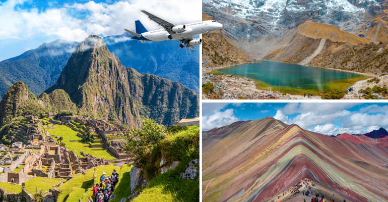
6 Day Andean Adventures Tour│With Flights from Chile
ENJOY THE BEST OF CUSCO CITY – MUST VISIT DESTINATIONS ARE WAITING FOR YOU! Want to explore Cusco...
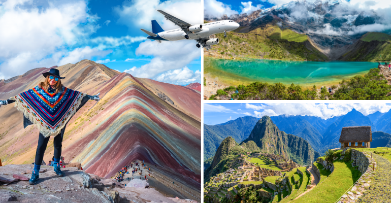
6 Days Andean Adventure │ With Flights from Mexico
EXPERIENCE THE BEST OF CUSCO – THE MOST BREATHTAKING DESTINATIONS AWAIT Do you want to explore...
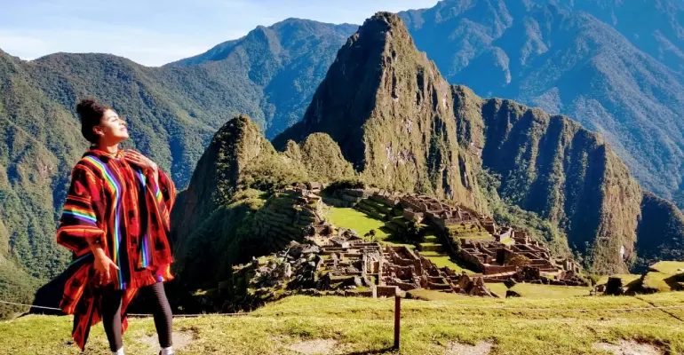
5 Day Cusco, Sacred Valley and Machu Picchu
DISCOVER THE MAJESTY OF MACHU PICCHU AND THE BEAUTY OF THE SACRED VALLEY IN ONE EPIC JOURNEY! The...
If you liked this article and the information you found, give us 5 stars!
Table of Contents
Related blogs
An Intrepid Traveler’s Guide to Machu Picchu’s Secrets of Altitude
11 min of reading